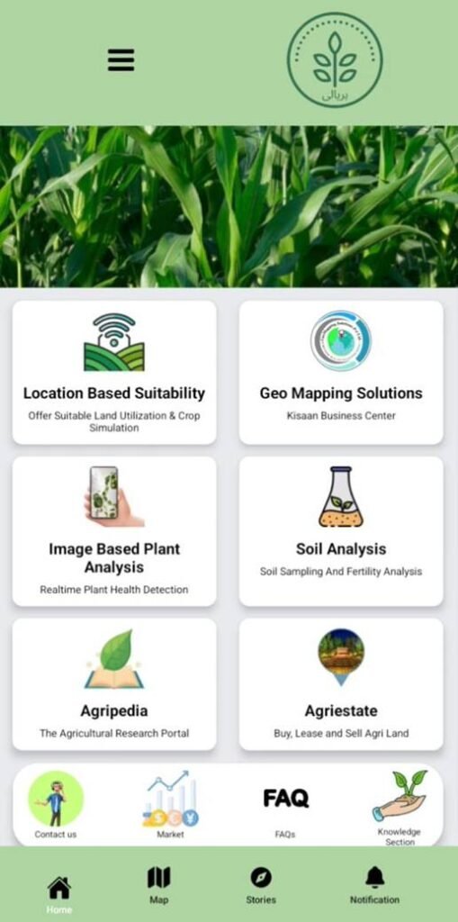
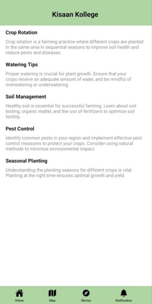
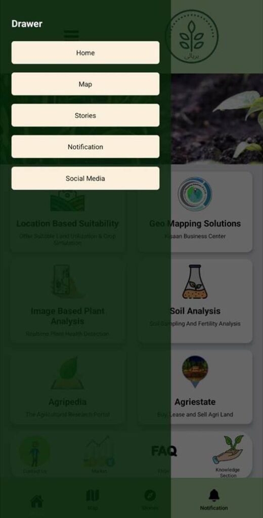
Haryali is an innovative agricultural application designed to empower farmers with advanced tools and resources. It offers features like location-based suitability for crop planning, geo-mapping solutions for land management, and real-time plant health detection through image-based plant analysis. The app also includes soil analysis for fertility evaluation, Agripedia for agricultural research, and Agriestate for buying, leasing, and selling agricultural land. With user-friendly navigation and additional sections like market updates, FAQs, and a knowledge hub, Haryali aims to support sustainable farming practices and boost productivity.
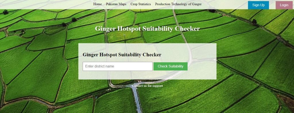
The Ginger Suitability Checker is a user-friendly platform that has been specifically developed to assist ginger farmers in making well-informed decisions regarding cultivation with primary objectives which are to enhance productivity, optimize resource utilization, and promote environmental sustainability within the ginger farming industry.
The implementation of this technology mitigates the likelihood of crop failures, promotes cooperation among agricultural practitioners, and offers prospects for research collaborations, enhanced services, and the development of mobile applications. The potential for collaboration with government agencies and the exploration of data monetization options can be pursued in a manner that upholds the principles of data privacy and security while providing advantages to farmers specializing in ginger cultivation and presenting opportunities for expansion within the agricultural industry.